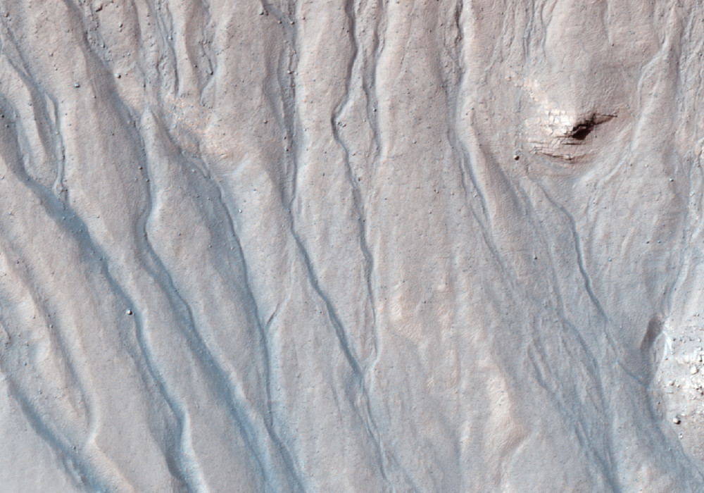
The 36 gullies referred to in the title of this observation were previously identified and fully described in a MOC image (M0303547). But HiRISE resolution can help to refine previous surveys.
Additionally, with the color swath, we can try to distinguish lithological (rock) units, and look for evaporite deposits (rocks formed when mineral-rich water evaporates) that might indicate past presence of water.
This caption is based on the original science rationale.
Written by: HiRISE Science Team (27 July 2011)
This is a stereo pair with PSP_005646_1360 .
More info and image formats at http://hirise.lpl.arizona.edu/ESP_022682_1360
Image: NASA/JPL/University of Arizona
