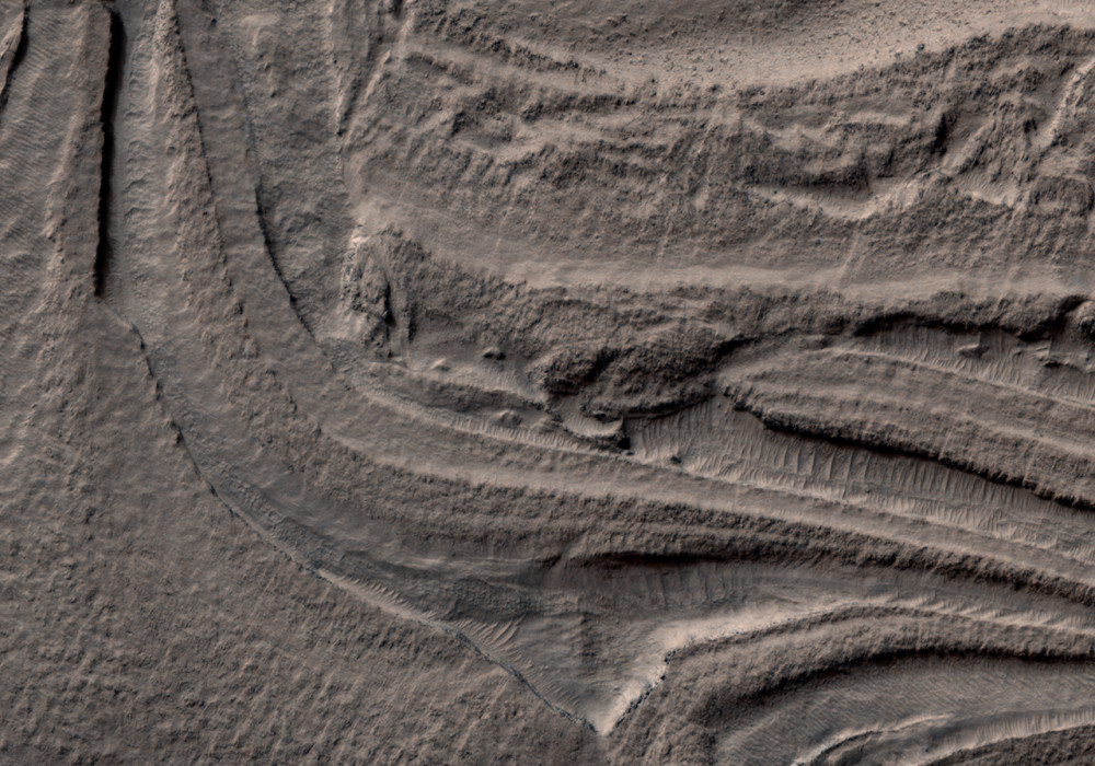
Hellas Basin is a large impact basin in the southern hemisphere and contains the lowest topographic point on Mars. This false-color RGB image acquired by HiRISE shows a small portion of the floor of Hellas Basin, revealing complex folded layers.
In some places, these layers appear to have been soft and deformed like taffy, experiencing what is know as ductile deformation. In other places, the layers are broken and have long fractures, suggesting they deformed as if they were more solid or experienced what is known as brittle deformation. In some areas the rough texture of the surface is caused by the presence of boulders, and the high resolution of HiRISE now makes it possible to study individual boulders and rocks in this region.
The folding of these terrains shows that the geologic history of this region is very complex. Additional images such as these and information about the mineralogy as determined by the CRISM instrument will help scientists to understand how and why these rocks deformed this way.Written by: Ralph Milliken (8 March 2008)
This is a stereo pair with ESP_016286_1405 .
More info and image formats at http://hirise.lpl.arizona.edu/PSP_007346_1405
Image: NASA/JPL/University of Arizona