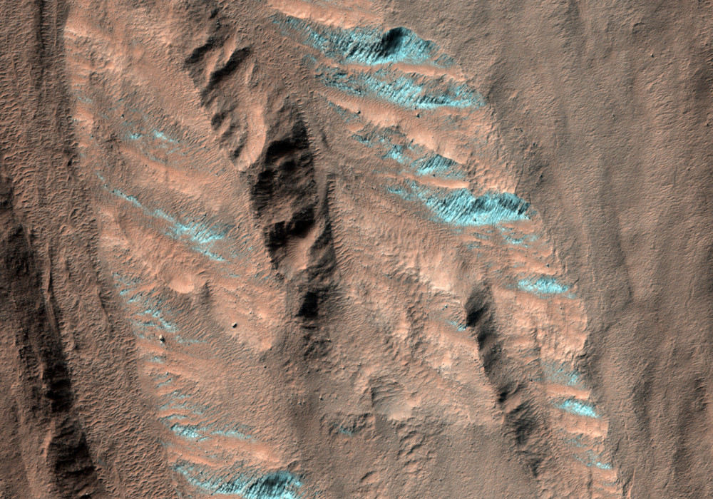
These gullies are in the Nereidum Montes near the large Argyre Basin in the southern hemisphere. Downslope, the gullies interact with other features. Some of the gully debris aprons cross a trough that lines the slope base. The debris aprons cover dunes lying in the trough, which indicates that both the dunes and trough were there before the gully activity.
The north half of the image is covered in boulders and some linear features that might have resulted from boulders tumbling or being dragged around. The south half of the image features gullies, which are thought to be fluvial features.
Beyond the trough there is a wavy ridge. The ridge has some landslides off of it that have extended onto nearby dunes.
Written by: Kelly Kolb (8 September 2008)
More info and image formats at http://hirise.lpl.arizona.edu/PSP_009156_1335
Image: NASA/JPL/University of Arizona
