This image was suggested by Kathleen Hartrum’s middle school science club at Conestoga Middle School in Beaverton, Oregon. They thought that this region looked like a fork in the river, separated by an island.
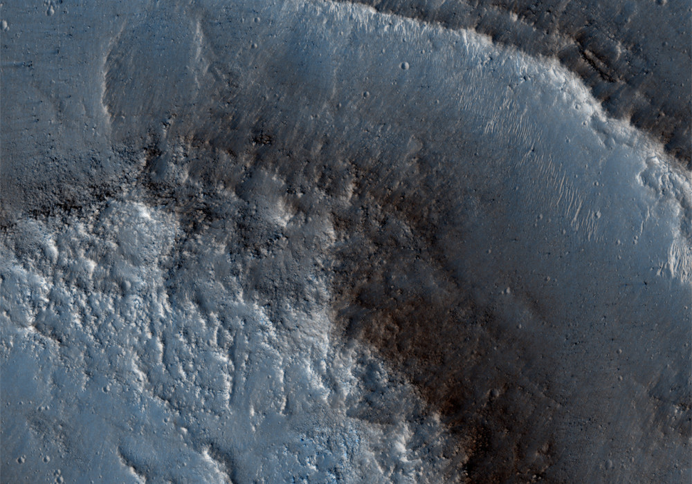
This is, in fact, a streamlined island, one of many observed in the large outflow channels on Mars. This outflow channel is called Kasei Valles, and is one of the largest catastrophic outflow channels on Mars. The streamlined island forms as water flows through the channel, but is blocked by some sort of obstacle, such as a crater or other topographic landform. In this HiRISE image, we only see the very tail end of the streamlined island, which is over 118km in length.
The platy surface within the channels has been attributed to either later lava or mud flows along the surface. The island itself is quite dusty and covered in small craters, so the island may be quite old. Along the edge of the island, however, you can see individual layers of rock . These layers represent individual rock units that may be volcanic or sedimentary in origin.
Written by: Alexandra Davatzes (26 November 2008)
More info and image formats at http://hirise.lpl.arizona.edu/PSP_006005_2050
Image: NASA/JPL/University of Arizona