This image is located within Aram Chaos near the outlet to Ares Valles. Aram Chaos is a 1300 kilometer (approximately 800 miles) diameter depression from which enormous cataclysmic releases of ground water are thought to have exploded onto the surface of Mars. The water then flowed northwards across the southern highlands, helping to carve the approximately 2000 kilometer (1200 miles) long Ares Valles outflow channel system.
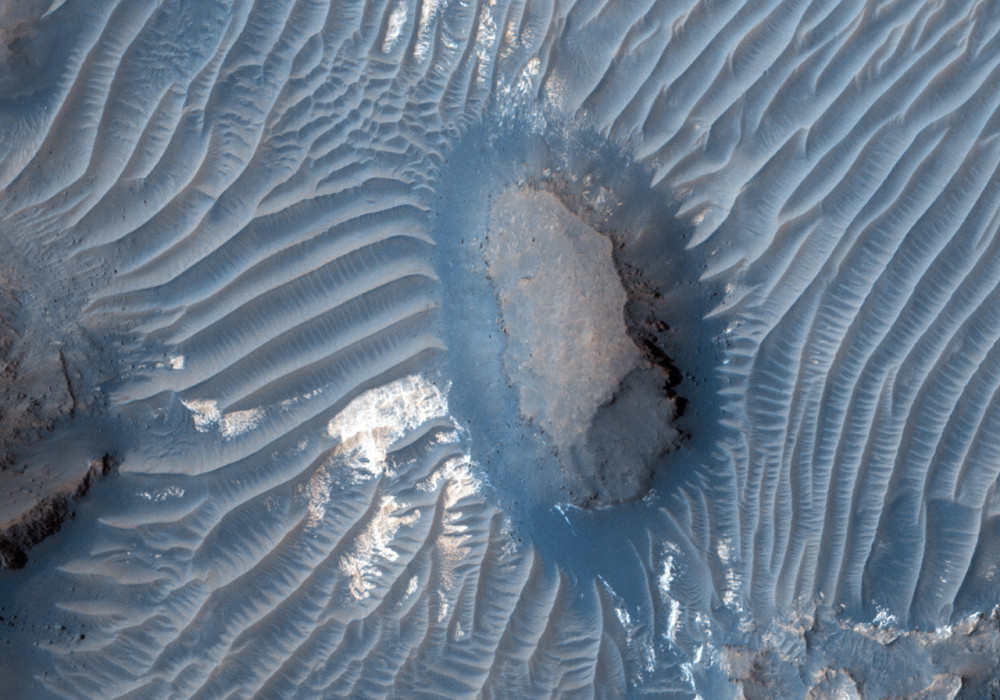
A variety of landforms, terrain units and dune fields are visible in this image. In the enhanced color subimage , this portion of Aram Chaos is seen to be composed of isolated hills and eroding mesas, surrounded by a mantle of dark-toned eroded material. A variety of dunes and light-toned units fill the lower elevations between upland terrains.
This is one of many regions where the HiRISE team is obtaining repeat imaging to study active dune field movements. The interplay between the dunes, eroded landforms and the various other light and dark-toned materials provides clues to the relative ages of the geologic processes and the nature of the materials.
Written by: Ginny Gulick (2 November 2011)
This is a stereo pair with ESP_023910_1830 .
More info and image formats at http://hirise.lpl.arizona.edu/ESP_024266_1830
Image: NASA/JPL/University of Arizona