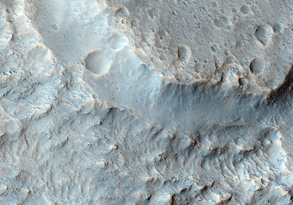
This image is part of a stereo pair that allows one to look at the walls of a flood carved channel in 3D. By examining the walls in such detail, we hope to understand the process by which the channel was carved.
For example, in this location, there are a series of benches or terraces high up on the channel wall. By looking at the topography it should be possible to tell if (1) these are produced by sediments being left at these elevations, (2) the erosive fluid dropped in stages and thus did more erosion at certain levels, or (3) the wall of the channel was slumping inward as a series of landslides.
Written by: Lazslo Kestay (26 September 2012)
This is a stereo pair with ESP_028196_1840 .
More info and image formats at http://hirise.lpl.arizona.edu/ESP_028473_1840
Image: NASA/JPL/University of Arizona